
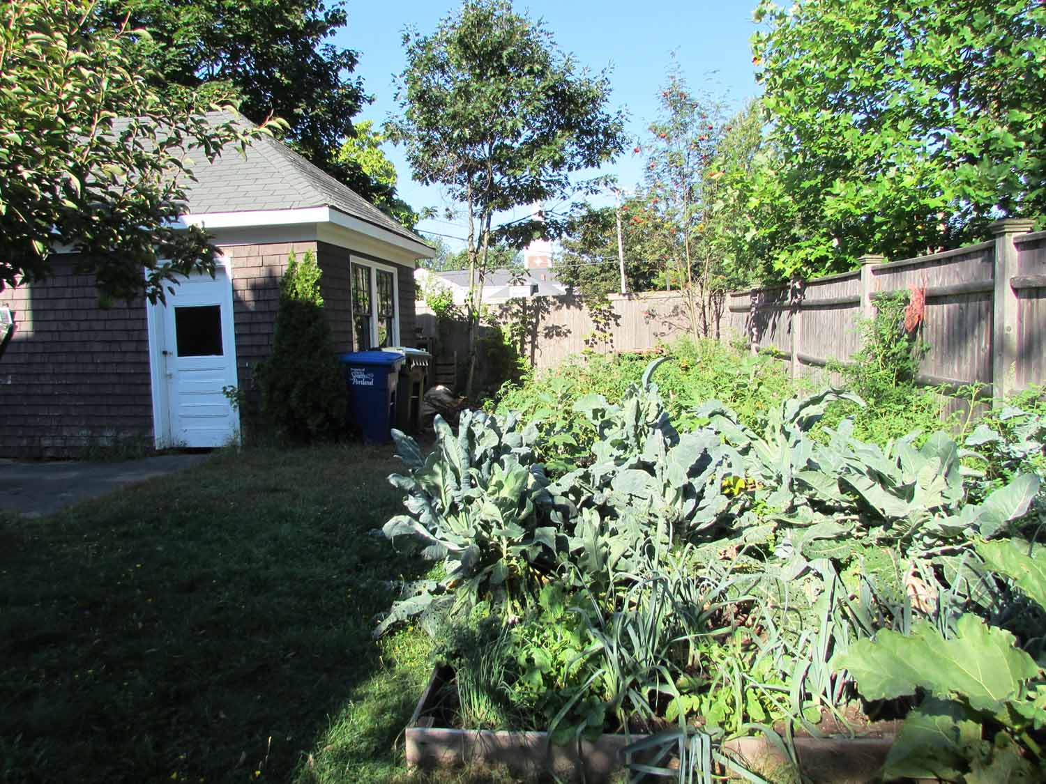
Tomatoes, eggplant, cauliflower, leeks, lettuce, carrots, rhubarb... a vegetable garden is one of life's simple pleasures. Planning a vegetable garden on the other hand, can be as complicated as you care to make it.


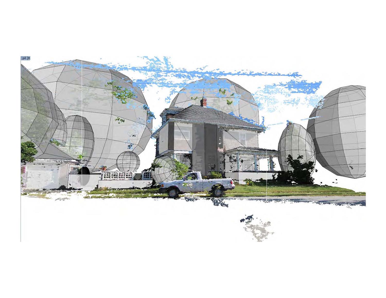
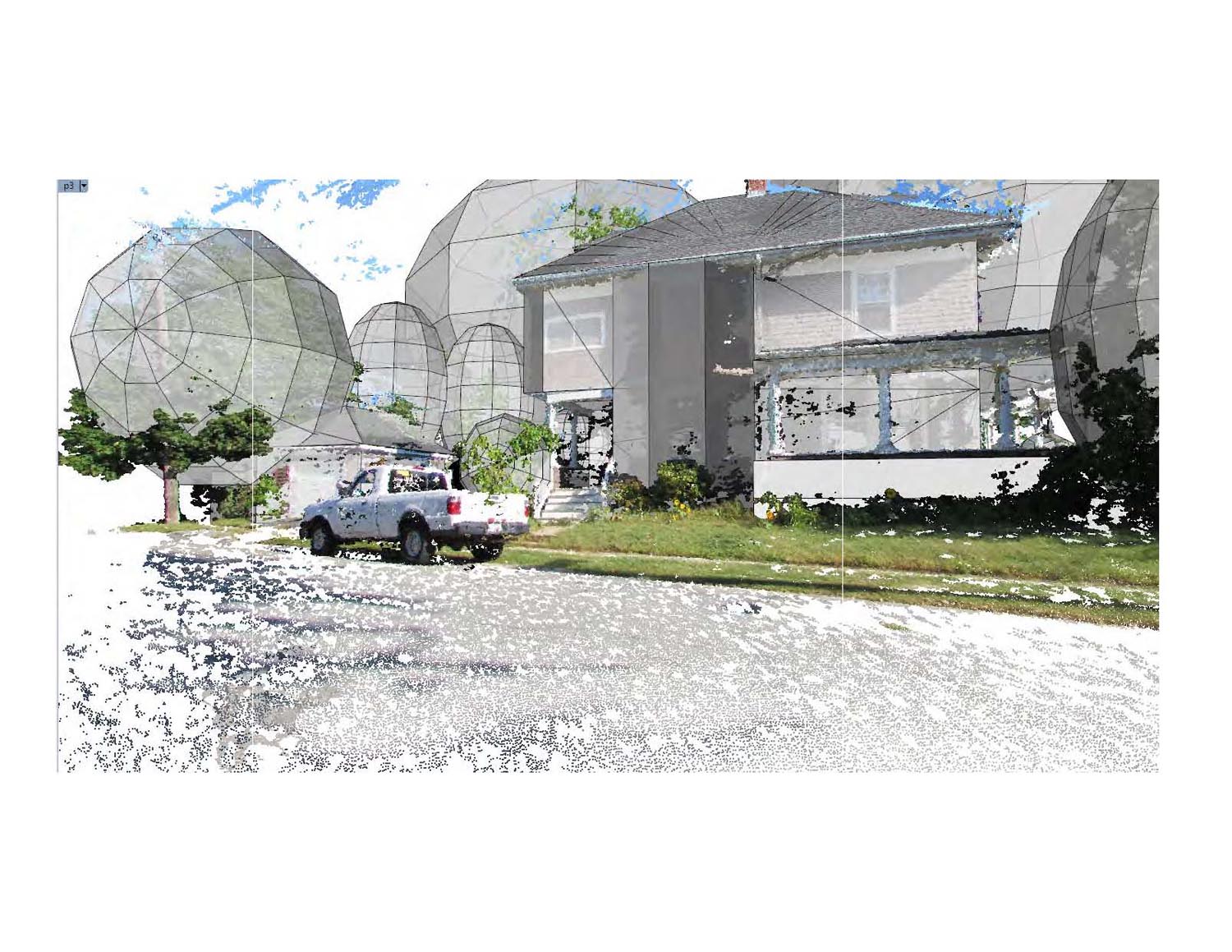
The front yard of this oddly shaped city lot has fantastic solar exposure, but the back yard is much shadier. In order to find the sunniest spot, a dozen overlapping photographs were extrapolated into a 3d point cloud using photogrammetry processing. The site's buildings, fences, and trees were sketched into a simple digital solid model - by referencing the point cloud to satellite imagery and key measurements taken on the ground.


Then using ladybug environmental analysis tools for grasshopper and rhino, solar radiation maps of the site were compiled for each month of the year. The simulation not only calculated a solar path at the site's precise longitude, it also predicted local cloud cover based on decades of compiled meteorological data.


Averaged over the length of of the local growing season, the simulation mapped a wide range of solar exposures. Some of the site received as much as 14 hours of direct sun each day, and others as little as 1.4.